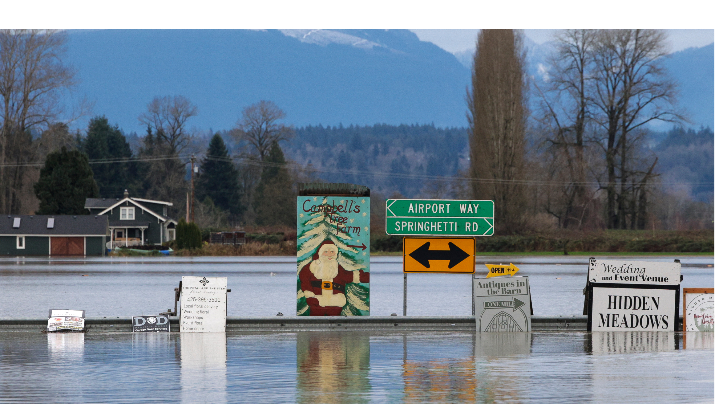
In the past week, multiple atmospheric rivers—long, narrow bands of concentrated moisture in the atmosphere—have brought historic rainfall to a vast swath of Washington, leading to catastrophic flooding. This event is unusual in scale and geographic diversity, with floods forcing evacuations across western Washington and affecting communities several hundred miles into parts of Oregon and Canada.
The hardest-hit areas span five Washington counties—Skagit, Snohomish, King (which includes the Seattle metropolitan area), Pierce (which includes Tacoma), and Whatcom—with the worst flooding concentrated in rural mountain or low-lying river communities like Burlington and Sumas: places with less capacity for response, recovery, and resilience.
It will take time to understand the full extent of the damage, as even more rain is forecasted this week. But this early analysis of the most exposed areas, part of the Urban Institute’s Disaster Rapid Response project that highlights policy and programmatic strategies for local and state governments following disasters, uplifts three key recovery considerations for the region.
1. Floods have affected a geographically and demographically diverse region
Mountain rivers in western Washington like the Skagit, Snohomish, Snoqualmie, Nooksack, Green, and White flow through small, rural towns before reaching larger metros and agricultural communities. Given this topography, the current flooding has affected a range of communities, including rural river valley residents, agricultural towns, and larger cities like Mount Vernon and Everett.
Sources: Counties and places from US Census Bureau TIGER/Line files. Rivers from the Washington State Department of Ecology. Predicted catastrophic flooding areas from the National Weather Prediction Service’s three-day flood hazard outlook on December 12, 2025.
In total, 14 incorporated cities or towns are located in areas with predicted catastrophic flooding, with these communities ranging from Everett (approximately 111,000 residents) to La Conner (roughly 1,000 residents). Flooding has also affected 35 census-designated places, including very small communities such as Conway (population 44) and extensive rural and unincorporated areas.
This municipal fragmentation can greatly affect recovery. In many states, disaster assistance relies heavily on local governments to identify impacts, connect households with aid, and implement recovery programs. When flooding spans many jurisdictions with varying administrative capacity, recovery pathways can differ substantially, complicating coordination and slowing assistance delivery.
Although county emergency management departments play a central role in serving unincorporated areas, the breadth and diversity of the affected communities in Washington will require strong coordination across county, state, and federal agencies to ensure support reaches households consistently.
2. Flood exposure intersects with preexisting housing vulnerabilities
The geographic diversity of the flooded areas means these regions also have substantial variation in housing, with many of the most severely affected areas home to high shares of renters and characterized by large shares of manufactured housing. Additionally, all the affected counties have low rates of flood insurance coverage, making these existing vulnerabilities worse.
Sources: Population, housing, and demographic characteristics from the 2019–23 American Community Survey. NFIP coverage rates are from the Federal Emergency Management Agency.
Notes: NFIP = National Flood Insurance Program. The 100-year floodplain refers to areas with a 1 percent annual chance of flooding in any given year. NFIP coverage describes the share of residential structures with an active NFIP policy.
Each of these three characteristics—a high number of renters, more people living in manufactured housing, and lack of flood insurance—can pose unique challenges to long-term recovery.
Renters. Across all flood-affected counties, more than 600,000 households rent. Renters often face unique recovery challenges after disasters. Past studies have shown that renters are less likely to receive postdisaster housing assistance and have a higher likelihood of long-term displacement from their communities.
These trends are especially harmful because renters have lower incomes on average and fewer financial resources to manage disaster-related costs or income loss. Even when rental units are repaired, the time required for repairs and increases in rental prices can still lead to high rates of displacement.
Manufactured housing. Across all flood-affected counties, there are more than 57,000 mobile and manufactured housing units. Mobile and manufactured housing, which is disproportionately found in rural areas and in floodplains, also raises unique challenges for recovery leaders. Manufactured housing residents, especially those living in manufactured home parks, tend to be less insured than other homeowners, have more difficulty financing repairs, and have limited ability to relocate given the comparatively high cost of stick-built housing. In the areas with predicted catastrophic flooding, some tracts’ housing stocks are composed of 30 percent or more manufactured housing and mobile homes.
Flood insurance. Flood insurance provides households with the resources needed to repair damages or secure alternative housing following disasters, and it helps offset the cost of damaged or destroyed personal property. The National Flood Insurance Program (NFIP) is the main provider of flood insurance in Washington and the US, with private flood insurance options a very small share of total policies.
Among homes in the 100-year floodplain, roughly a quarter in three counties—Snohomish (28 percent), Skagit (27 percent), and Whatcom (28 percent)—carry a NFIP policy, with modestly higher numbers in King (45 percent) and Pierce (43 percent) counties. Outside of the 100-year floodplain, fewer than 5 percent of homes carry NFIP policies. This suggests most flood-affected households will not receive any insurance payouts.
When households lack flood insurance, recovery depends heavily on public assistance and charitable aid, making the speed and scale of government response especially consequential. However, recent layoffs and policy changes (e.g., ending door-to-door canvassing following disasters) at the Federal Emergency Management Agency (FEMA) raise serious concerns about if, when, and how much federal aid will arrive.
3. Repeat disasters and dwindling federal aid raise the stakes for long-term housing recovery
In the Pacific Northwest, climate change has intensified flood risk as storms carry more moisture and as precipitation that once fell as snow increasingly falls as rain. As such, these floods are not an isolated event for many Washington communities.
Over the past decade, Skagit, Snohomish, and Whatcom Counties have each experienced six federally declared disasters for natural hazards—more than one major disaster every two years. In places like Sumas, a rural, agricultural community near the Canadian border, residents experienced similar flooding just a few years ago, highlighting how repeated climate-driven events can compound housing loss, displacement, and financial strain over time.
Uncertainty about federal disaster assistance raises the stakes further. Although Washington has received an emergency declaration for the current floods, this designation does not unlock many of the federal funding programs available under a “major” disaster declaration. State leaders are optimistic that the affected counties will receive a major disaster declaration and meaningful FEMA assistance, which will be critical in the early stages of recovery. Still, uncertainty around Hazard Mitigation Grant Program funding, which the Trump administration has not approved since March 2025, and the Community Development Block Grant Disaster Recovery program, which provides flexible funding for long-term recovery, underscores broader challenges.
Typically, recovery funding allows state and local governments to rebuild infrastructure and housing to higher resilience standards and to pursue strategies like property buyouts to reduce repetitive losses incurred from repeat disasters. Yet, without timely and sustained federal support, state and local governments and community-supporting organizations may be left to manage recovery responsibilities that exceed their capacity at precisely the moment when coordinated, long-term investment is most needed.
With the future of federal resources still undetermined, recovery efforts may be more likely to replicate predisaster conditions, leaving housing and infrastructure exposed to the same risks. The result is not just slower recovery, but also normalization of repetitive losses and escalating public costs with each subsequent flood.
Let’s help communities build more secure, hopeful futures.
Today’s complex challenges demand smarter solutions. Urban brings decades of expertise to understanding the forces shaping people’s lives and the systems that support them. With rigorous analysis and hands-on guidance, we help leaders across the country design, test, and scale solutions that build pathways for greater opportunity.
Your support makes this possible.